Mars does not have a magnetic field nor are there a constellation of satellites orbiting Mars to provide accurate location data. So how will Astronauts / Rovers on Mars navigate […]
Mars does not have a magnetic field nor are there a constellation of satellites orbiting Mars to provide accurate location data. So how will Astronauts / Rovers on Mars navigate their way?
On 22 June 2016, HotPopRobot gave a presentation at the Ontario Science Centre, Toronto during the RASC (Royal Astronomical Society of Canada) meeting of the path–findingRover they built for planetary exploration. The Rover takes a snapshot of its surrounding using a web camera and processes this image using edge detection and gradient mapping tools of Matlab software to convert it into a visual maze.
The Rover then applies the maze-solving algorithm to find the best path forward. The coordinates of this path are sent to the driving mechanism of the Rover using Arduino and the Rover is able to drive forward avoiding obstacles. It took us over 2 months to build and program the Rover.
Programming the M.A.R.S Rover
The project involved developing different modules, namely building the Rover (physical construction), Visual data gathering (using web camera), Data Processing (for synthesising image and rasterising it into a maze), Maze Solving algorithm (to find the best path among the maze), and Communication (to command the Rover to move as per the solution provided by the Algorithm).
This technology has lots of applications on Earth too for autonomous guidance and for making decisions in a changing visual environment.
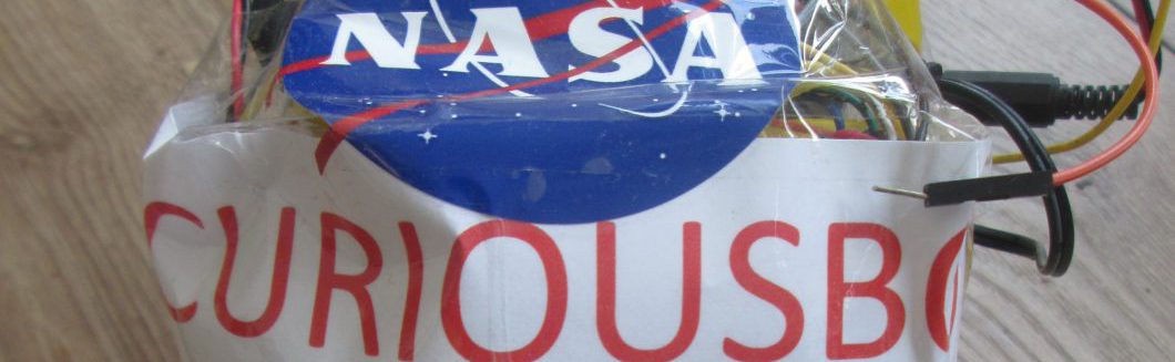
Presenting the M.A.R.S Rover at NASA SpaceApps Challenge 2016
2025 Third Grand Award, International Science and Engineering Fair, USA. 2023 Second Prize Winner – European Union Contest for Young Scientists (EUCYS). Best of the Fair Award, Gold Medal, Top of the Category, Youth Can Innovate, and Excellence in Astronomy Awards at Canada Wide Science Fair 2023 and 2022. RISE 100 Global Winner, Silver Medal, International Science and Engineering Fair 2022, Gold Medal, Canada Wide Science Fair 2021, NASA SpaceApps Global 2020, Gold Medalist – IRIC North American Science Fair 2020, BMT Global Home STEM Challenge 2020. Micro:bit Challenge North America Runners Up 2020. NASA SpaceApps Toronto 2019, 2018, 2017, 2014. Imagining the Skies Award 2019. Jesse Ketchum Astronomy Award 2018. Hon. Mention at 2019 NASA Planetary Defense Conference. Emerald Code Grand Prize 2018. Canadian Space Apps 2017.